Peoples Park in the Sky and more in Tagaytay City
Tagaytay is a quick getaway for people living in Metro Manila (more advantageous for those living on the south due to closer proximity). It offers a relaxingly cool temperature while at the same time recharging your spirit with the wonderful sights of nature.
Given that Tagaytay is elevated, the temperature is at least 5 degree Celsius lower than Metro Manila. This number can further shoot up depending on the month.
Tagaytay is also home of the Taal Volcano, which is a famous tourist attraction given its captivating beauty or "cuteness" as it sits upon the lake.
I've been to Tagaytay probably more than 5 times already, but I never fail to be captivated by its beauty. It also has high resemblance with Baguio (only slightly nearer and more convenient). Plus, both has the famous Strawberry Taho.
For this particular visit, we just checked out one tourist spot which is Peoples Park in the Sky. Due to the steepness going up to the spot itself, cars are advised to just park near the base, and walk up from there.
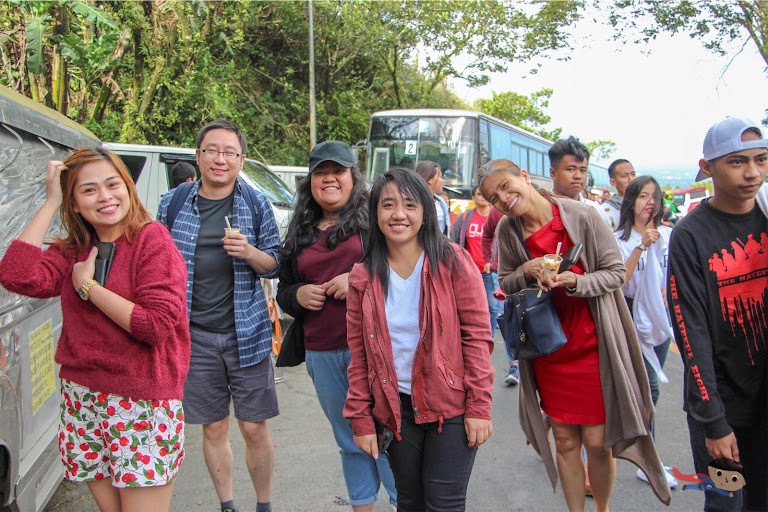
Luckily, for those with health condition (or those feeling lazy), there are Jeepneys that will take you up the slope. At average, it will cost you P10 each, maximum P40 for a group. This means that if you're traveling alone, you'll shoulder the entire P40. In the same way, if you are more than 4, you'll stay pay up P40. (Hopefully, I understood it right)
The ride is short probably takes just 3-5 minutes, but it was indeed steep, and tiring to scale.
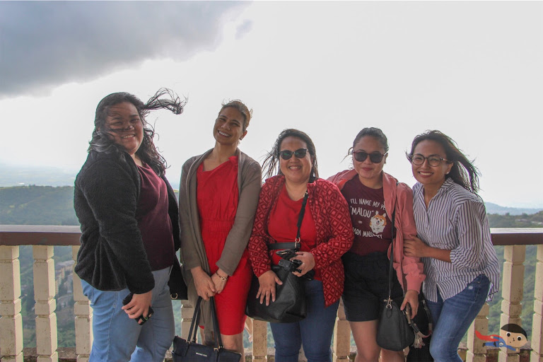
Upon reaching the top, we were immediately greeted by strong cool breeze, enough to ruin your hairstyle. We also caught a glimpse of the town, and it was a relaxing sight. The wind continues to batter as we walked around.
Other than the view (and photo-taking), there aren't much to do in the place. It's basically just food for the soul, but of course, there's no "just" about it. After all, we were seeking calmness and rest.
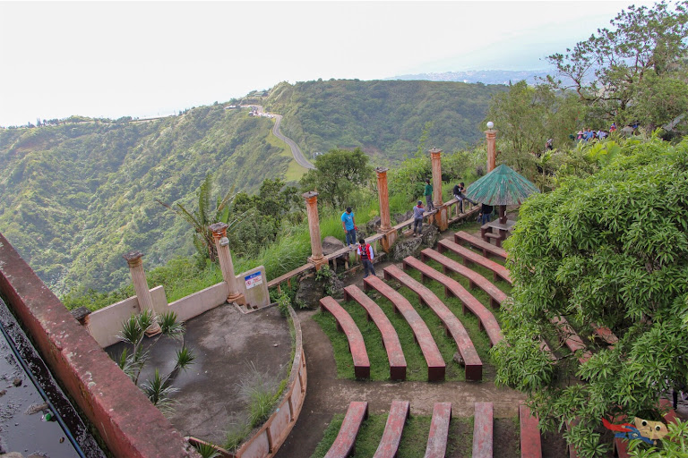
You'll witness this view (see photo above), which is very movie-like. It was calming.
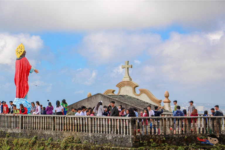
There's also this other side, where you can find a statue of Jesus. Looking at the photo above, it surely looks touristy.
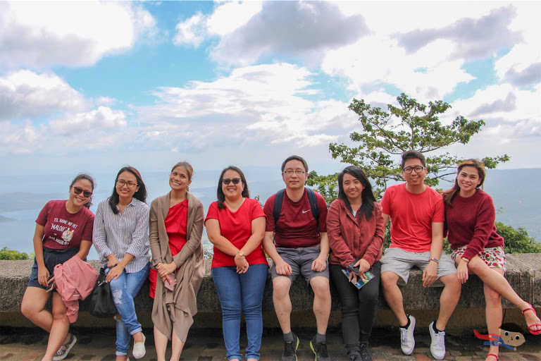
We didn't stay too long. We were hungry, and so we made a stop at the famous Balay Dako to have lunch. Hence, we just had a team photo, and left. It took us probably 15-20 minutes to reach the famous restaurant.
Balay Dako in itself is a tourist destination. The ambiance is something you can ogle upon, and the interior design immerse you in a traditional yet grand Filipino setting.
Our festive lunch experience can be further viewed in my food blog here -- Balay Dako's Must-Visit Filipino Restaurant in Tagaytay. One things for sure, we left the place completely nourished and satisfied! Great food.
Lastly, before we headed straight back to the Manila, we made a stop in Taal Vista Hotel. Since there's an entrance fee per person (for those not dining or staying), we just used the "15 minute window" to roam around and take photos.
There are a lot of picture-perfect sections in the Taal Vista Hotel's garden. This includes this stationary bike where you can pretend riding one. IG-addicts will surely love this spot!
We spent the remaining minutes taking more group photos in the garden. One was taken in this life-size photo frame.
The second was the one with the scenic view of Taal Lake. All in all, we spent about 3-4 hours in Tagaytay, while the ride (to and fro) took another 3-4 hours. It was a day well-spent!
Tagaytay Quick Guide
Things to see/do: There are different places to explore in Tagaytay. This includes the Sky Ranch (not mentioned in this blog post), Balay Dako (for food indulgence) and Taal Vista Hotel.
Budget needed: P1,000 each for transportation, food and entrance fees
Is it wander-worthy? The People's Park in the Sky has a good view, but other than that, there's nothing more to do. Taal Vista and Balay Dako on the other hand are surely wander-worthy destinations!
How to get there: I'm not familiar with the exact route, but you can take a bus going to Tagaytay from Metro Manila. In any case, you may use the Google Maps below to assist you in getting there.
